Topace Galaxy Sdn Bhd added new photo in SOFTWARE
May 13, 2022 at 11:55 am —

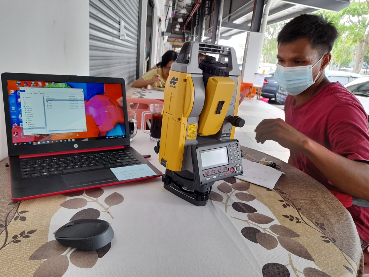
MYSCAD GEOMATIC DESKTOP
MYSCAD Geometic Desktop provides all the solution surveying professionals need to go from field to production. A unique feature is the ability to define multiple views of the same data (e.g., plan profile) and use them simultaneously. Automatically generate mapping symbols, drafting labels and custom line types. Intelligent text is tied to the project (for example, boundary calls are updates as change are made) MYSCAD also provide the tools for surveyors to accurately cut cross-section and calculate average end area volumes. 1.FEATURES Dual Language In One Cad Platform System. Integrated Survey, Geometic and CAD drafting-Download, Calculate, Design, Draft, Check and Print-all incorporated into a productive field-to-finish package. AutoCAD Compatible: MYSCAD is compatible with international CAD standards. More than 1000 Cad function and key board command available. Customizable User Interface and commands. Toolbars – can be arranged with ``drag and drop’’ functionality Menus – can be re-organized with our graphical menu editor Screen – item can be turned off for more graphics area. Layout – of command window – top or bottom and etc. Extra Tools, Edit, Modify, Update, Hatches, Notes, and Dimensions, Create Layouts and Plot Drawings. Share Data Between Drawings And Applications. The system is totally graphical and user configurable, giving the user complete control over the configuration for unit types, colors, attribute data, and feature display etc. 2. KEY BENEFITS International active CAD (dwg) technology, read/write AutoCAD DWG and support major industry format (MOSS Genio, Arcinfo, CivilCad, SDR33 and etc). Specially design for Civil Engineering, Survey Application such Cadastral, Topography Survey, Earth Work Calculation, 3D Design, CAD & Drafting Application and dual language One Cad Platform. Full COGO Calculations, Create lots and blocks quickly and efficiently Create and place buildings or structures with flexible input-RE-use and re-edit any building or structure. Ability to automatic generate Topo map based on in-field feature coding. Support datum and coordinate transformation and projection RSO, Cassinni & etc. Capable to simultaneously display survey and plan - Efficient staking programs: compute stakes, select point with all CAD commands. Survey Instruments & Data collector interfacing (all major brands). Traverse coordination, closure, balancing. Survey calculation –Linear regression, clusters, powerful line, curve, and point calculating programs. Field to finish diagramming, layering, symbol placement. Bearing, Distance, Elevation, Description, Number placement. Raster Imaging – Georeferenced TIFFs, JPG, BMP, Digital Photo support. Contouring, TIN, Surface & Grid Modeling. Multi-surface volume calculations with Alignment design & labeling. Profile, Cross section template editor, profile plotting & vertical alignment design. Civil Design Tools on Earth Work Design, Road Design & Lot Design. read more